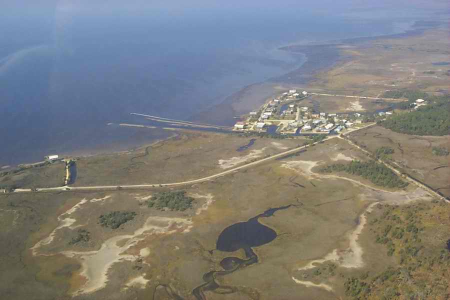
These images were taken on November 20, 2006 by Joy Ezell as she flew with South Wings.
This image shows the community of Dekle Beach. The proposed development would be located on the oppsite side of the road towards the lower right hand corner of the image. Note the small tree island located just left of the dirt road that comes off the Dekle Beach road. This island is proposed to be completely eliminated if the development is allowed.
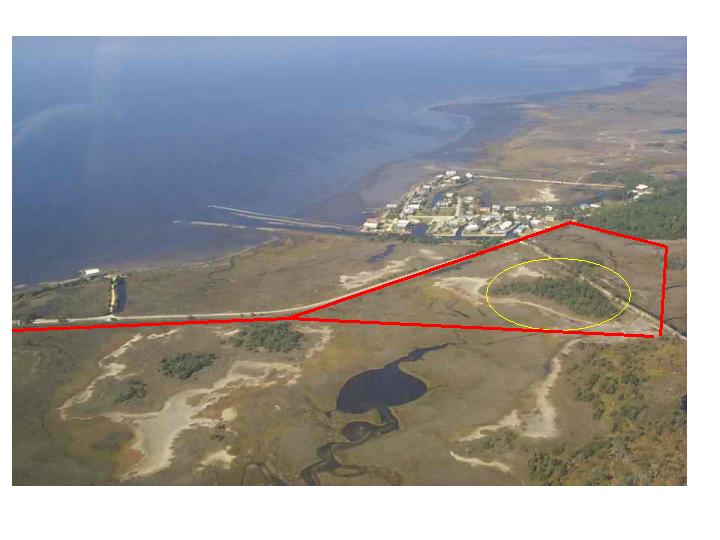
The next image is a rough representation of where the marina and canal would be located. Notice the yellow circle where the tree island would be removed and the red lines outline where the marina would be.