Alaska's North Slope
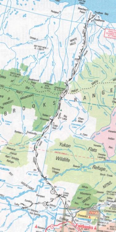
I had been an Alaskan resident for almost 25 years, but I had never visited the oil fields at Prudhoe Bay or the North Slope of the Brooks Range. On June 17, 2001 I headed north from Fairbanks on Alaska Highway 2. The road from Fox to Manley Hot Springs is called the "Elliot Highway". The first 28 miles of road were paved but very rough. The terrain in this area is mostly low rolling hills with plenty of forest. The further north you go, the more mountainous it becomes.
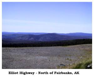
Just west of Livengood and 73 miles north of Fairbanks is where the Dalton Highway (known to Alaskans as the North Slope Haul Road) starts. It is 414 miles of rough gravel road from this point to Deadhorse. The Haul Road was built for the construction of Trans-Alaska Pipeline from Prudhoe Bay to Valdez during the 1970s. Mile markers are listed in the Milepost Magazine as the distance from this junction (J-xx) and the distance to Deadhorse (D-xx). The bridge below carries vehicular traffic and supports the pipeline.
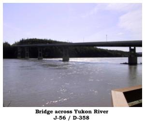
Just over the bridge on the right hand side of the road is the Bureau of Land Management (BLM) Yukon Crossing Visitor Contact Station. Across the road is a restaurant and service station where I got gas for $2.559 per gallon. The BLM doesn't allow overnight parking in their large parking area, so I stayed near the service station and took my inflatable boat for a ride on the Yukon River.
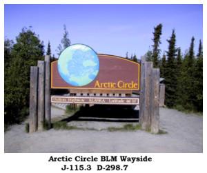
The Bureau of Land Management maintains a wayside just off the road at the point where the road crosses the Arctic Circle. The sun does not set on the summer solstice (June 20 or 21) and it does not rise on the winter solstice (December 21 or 22) at this latitude.
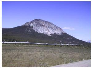
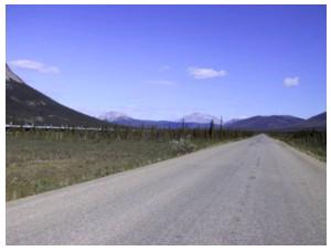
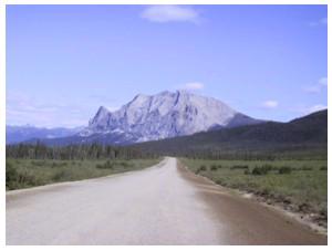
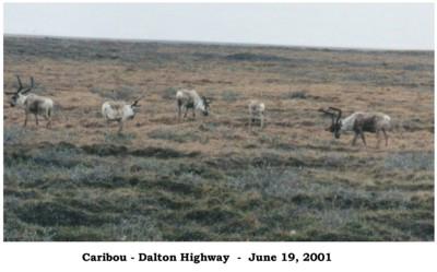
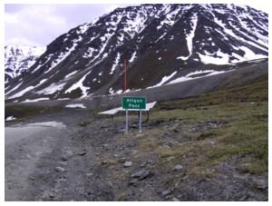
The above pictures were taken on June 18th on the Dalton Highway south of Atigun Pass as I drove north. As I drove closer to Atigun Pass it got colder and started to rain and once over the pass I was getting occasional snow with the rain and heavy fog. I stopped along the road about 70 miles south of Deadhorse and camped for the night.
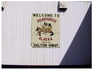
I arrived in Deadhorse on June 19th just after 11:00 a.m., fueled the truck and went to the Arctic Caribou Inn, made reservations for the afternoon oil field tour and had lunch. Deadhorse is 1 mile from the Arctic Ocean and the only way you can get there is to take a tour. All vehicles and people traveling on the oilfield are checked by security.
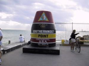
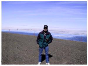
On November 11, 2000 I was in Key West, Florida at the southern most point one can drive to in the United States and on June 19th, 2001, I had completed my journey to the northern most point in the United States. I traveled 16,979 miles during the trip. The Arctic Ocean is at my back and as you can see it is still frozen. The temperature was 85 degrees in Key West and 45 degrees at Prudhoe Bay.
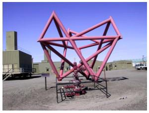
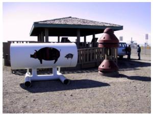
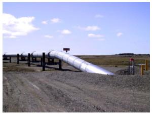
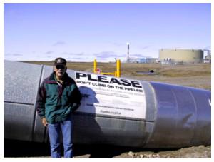
In the front of the picture on the upper left is the well head of the first well drilled at Prudhoe Bay (it was moved to this location for the tourists) and behind it is a sculpture made of pipe. The upper right picture is a picture of a pig that is used to clean the inside of the pipeline. Lower left is the start of the Trans Alaska Pipeline, milepost 0. Lower right is me at the pipeline.
Date Updated: 12/18/2006