Southeast Alaska
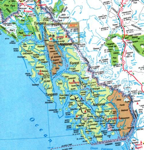
My second exposure to Southeast Alaska was in September 1990. I drove from Anchorage to Haines Alaska (through the Yukon Territory, Canada), and then traveled via the Alaska State Ferry, M/V Matanuska to Ketchikan. As you can see by the above map, there are very few roads in Southeast Alaska and the cities are accessible only by boat or air. The Alaska Marine Highway System maintains a fleet of ferry vessels to provide passenger and vehicular transportation. Southeast Alaska is mostly a temperate rain forest and one should expect rain when they come to visit. In August 1990, I accepted a job as a Supply Technician with the State of Alaska, Department of Transportation and Public Facilities, Alaska Marine Highway System. The job was a procurement position and in a couple of years it was upgraded to Procurement Officer. I retired at the end of August 2000 and started my travels through the “lower 48” and Canada.
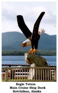
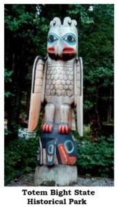
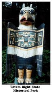
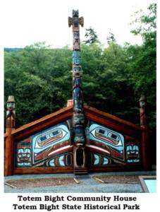
The above totem is an example of the excellent carving done by Alaska Natives. Below are shown two totems at the entrance of Totem Bight State Historical Park and the Community House located near Ketchikan, Alaska.
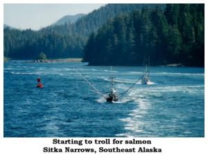
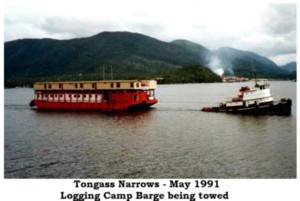
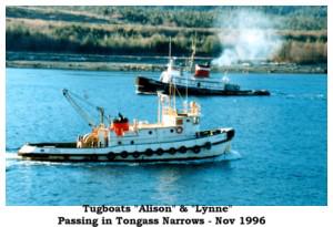
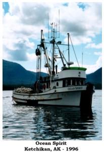
Commercial fishing, sport fishing and logging are major industries in Southeast Alaska.

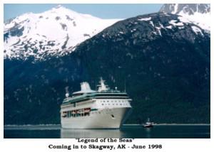
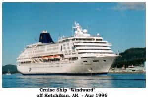
Tourism is another major industry in Southeast Alaska and cruise ships travel its waters during summer.
The standard means of transportation used by locals and tourists alike in Southeast Alaska are the ferries operated by the Alaska Marine Highway System and privately operated float planes.


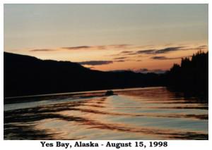
The above pictures should give you some idea of what you will see if you travel Southeast Alaska.
Last Updated: 12/18/2006