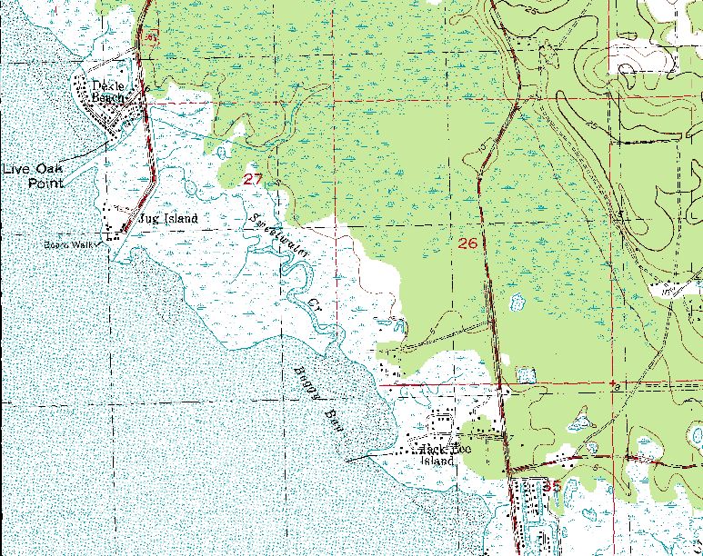
Boggy Bay
"Real
Click
here for information
on the proposed development of
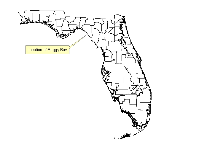
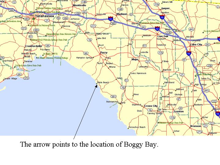
State location map
Click here for a roadmap of the area.
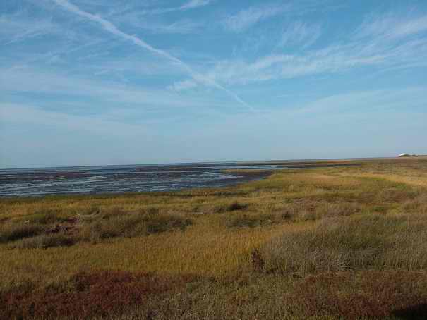
The following image shows that a good majority of the bay actually empties of water during low tide. This creates excellent habitat for birds to feed.
Click here to see hurricane information for the area.
Boggy Bay's
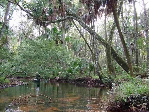
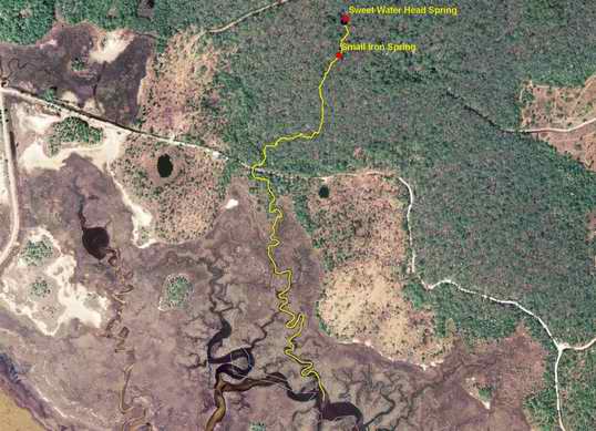
Sweet Water Spring
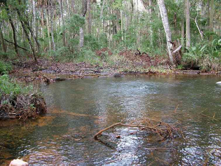
The spring is surrounded by private property. The spring is a tributary to Sweet Water Creek. A 6,500 foot long spring run connects the spring to the Sweet Water tidal creek. The boil that is present is approximately 6 feet in diameter. The pool area is approximately 60 feet wide and clumps of iron colored particles were observed near the vent.
This spring and spring run are a natural waterway tidally connected to the Big Bend Seagrasses Aquatic Preserve. This waterway is under state jurisdiction and anyone can visit this site legally as long as you remain on and in the state jurisdictional land and water.
Location
Latitude: 29° 51’ 00.36708” N
Longitude: 83° 36’ 24.01138” W
Datum: WGS84
Locational Method: DGPS
County:
River Basin: Gulf Coastal
Date Sampled: 12/2/2006
Time Sampled: 14:20 EST
Tide Status: 3.02 high at 12:23 EST and 1.24 Low at 17:41 EST
Moon Phase: 93% Full
Field Analyte Values
Sp. Conductance: 290 microsiemens
pH: 7.23 S.U.
Temperature: 21.53° C
Dissolved Oxygen: 0.16 mg/l (1.70%)
Discharge (cfs): 4.68
Discharge (mgd): 3.025
Magnitude: 3 (at time of measurements)
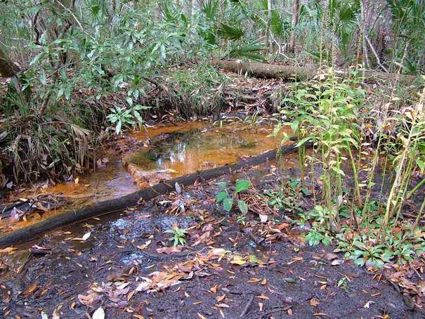
Seeps
A very small spring or seep is located approximately 15 meters northwest of the Sweet Water Head spring. This seep also had a heavy concentration of iron precipitate. A short run connected it to the pool of Sweet Water spring. This seep is seen just above the main vent in the picture below.
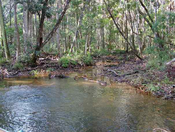
The Spring Run
The spring run has an average depth of one to two feet deep. It contains many fallen trees making it somewhat difficult to navigate. The average width is 5 to 10 meters and the bottom is sandy with organic woody debris.
Other Springs
A small spring was located approximately 110 meters down stream of the head spring. This spring was located on the west bank of the stream and had a low volume flow. It also contained an iron colored precipitate.
 Location
Latitude: 29° 50’ 57.228” N
Longitude: 83° 36’ 24.693” W
Datum:
WGS84
Locational Method: DGPS
County:
River Basin:
Gulf Coastal Big
Date Sampled: 12/2/2006
Time Sampled: 13:55 EST
Tide Status: 3.02 high at 12:23 EST
and 1.24 Low at 17:41 EST
Moon Phase: 93% Full
Field Analyte Values
Sp. Conductance: 300 microsiemens
pH: 7.21 S.U.
Dissolved Oxygen: 0.20 mg/l (2.10%)
Temperature: 21.22° C
Discharge (cfs): not measured
Discharge (mgd): not measured
Magnitude: not measured
Area of Interest
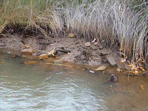
The following image shows bricks that can be seen just beyond the tree line in the spring run. It is unknown if these bricks have any historic significance. In other areas in the marsh one can find logs that have been cut in a fashion that would be used in a log cabin. Several Rebel salt works have been reported in the area.
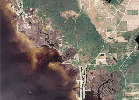
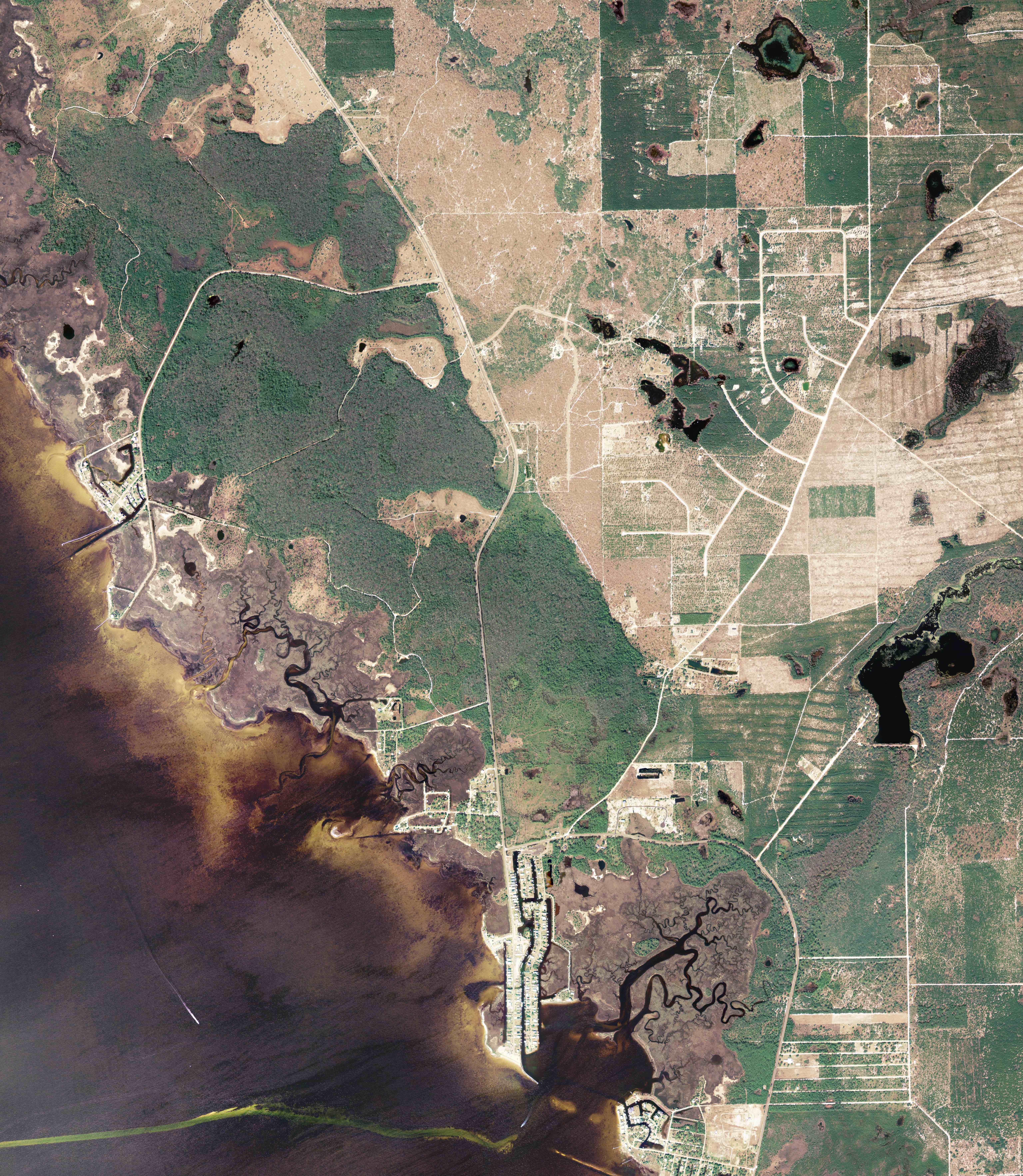
Aerial views show the spring run outlined in yellow and the springs are represented as red dots in the first image.
Map of the
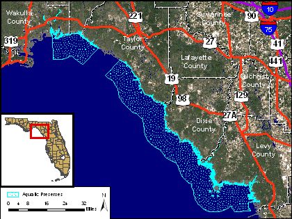
Source: http://www.dep.state.fl.us/COASTAL/sites/bigbend/info.htm
The Big Bend Seagrasses Aquatic Preserve consists mainly of a
large, remote, and undeveloped expanse of submerged seagrasses
and nearshore marshlands located along some 150 miles of the
northeast coast of the Gulf of Mexico where the
Numerous estuaries, which nurture a diverse flora and fauna, are formed at the confluence of the many rivers and streams that flow into the preserve. Open waters and submerged bay bottoms of these estuaries support numerous species of commercially and recreationally important fish. The shoreline is dominated by intertidal marsh grasslands, a temperate natural community that is replaced in the tropics my mangroves. Some mangroves occur in the southern reaches of the marshes but are stunted and die back in periodic freezes.
This website is currently being developed to spark interest in
protecting
Web Counter provided by: http://www.digits.com/